At SenseLab, we're passionate about delving into the depths of spatial informatics to uncover insights that can benefit society and the environment. Developing research in cutting-edge fields of Uncrewed Systems & Drones, Remote Sensing, Geographic Information Systems (GIS), Machnine Learning, Surveying and Mapping. With a multidisciplinary approach and by combining expertise from various domains we are able to address complex challenges and create innovative solutions.
Respecting the genuine function of a University we attempt not to focus on recurring applications and methods but to advance basic research, combinational research, solutions and proof of concepts in present and future challenges including:
-
Unmanned Aerial Vehicles for mapping/ communication/ collision avoidance,
-
Navigation in GNSS-denied environments,
-
UAV custom construction, autonomous behavior, algorithms and image processing, multi-modal navigation, object detection and tracking, hardware programming,
-
GNSS coordinate precision enhancement fusing drones, on-board and real time analysis of collected data,
-
Automation in precision landing on moving platforms,
-
AI-deep learning algorithms for 3D mapping and navigation,
-
Swarm collaborative missions, autonomous collaboration with unmanned terrestrial systems,
-
Graphical user interfaces in spatial databases/ queries by sketch/ gestural user interfaces,
-
Spatiotemporal data modeling/ topology/ scene similarity/ trajectory behavioral analysis,
-
Multi-temporal satellite image processing/ classification novel algorithms/ monitoring,
-
Location based services/ e-Government applications, Smart Cities, Space technology,
-
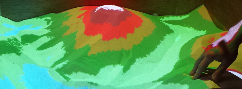
GIS tangible systems/ 3D Visualization/ Mobile applications/ Crowdsourcing,
-
Neuro-morphing and cognitive processes in image processing,
-
Neural networks/ Self-organizing map generalization,
-
Optimization of belt conveyor location in mines/ Image processing in mineral liberation
-
Video processing for Natural Hazards monitoring,
-
Space, geology, agriculture, environmental, mining, global change, architecture, archaeology, rockfall monitoring, indoors mapping, search & rescue, wetland and coastal monitoring, agrifood applications, powerline and infrastructure inspection, thermal inspection, underwater mapping and navigation, neuroscience applications.