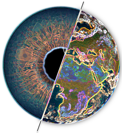
At SenseLab, through our research in Geographic Information Systems to handle spatial data and solve real-world challenges.
Here's what we do:
-
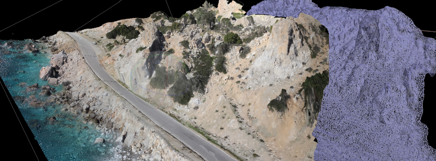
Data Integration and Management: We collect, organize, and integrate spatial data from diverse sources, including satellite imagery, aerial surveys, GPS, and remote sensing data.
-
Spatial Analysis and Modeling: Using advanced GIS software and techniques, we conduct spatial analysis and modeling to uncover insights, identify patterns, and make predictions. This helps in areas like urban planning, environmental monitoring, and disaster management.
-
Mapping and Visualization: We create high-quality maps and visualizations to effectively communicate spatial information. These maps range from traditional paper maps to dynamic, interactive web-based applications.
-
Decision Support Systems: By combining spatial data with other types of information, we develop decision support systems that assist stakeholders in making informed decisions. This is crucial for sectors such as public health, transportation, and natural resource management.
-
Innovation and Research: We're at the forefront of GIS innovation, exploring emerging technologies such as artificial intelligence, machine learning, and big data analytics to push the boundaries of what's possible in spatial analysis and modeling.
-
Education and Training: We offer education and training programs to empower individuals and organizations with the skills and knowledge needed to leverage GIS effectively. This includes workshops, seminars, and hands-on training sessions.


