On the Surveying and Mapping front, our team at SenseLab is dedicated to advancing the state-of-the-art in spatial data collection, analysis, and visualization.
Here's what we do:
-
New Survey Techniques: We're always looking for better ways to collect accurate spatial data, whether it's through drones, satellites, or high-tech surveying gear.
-
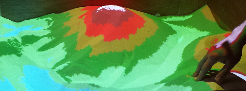
Detailed Mapping: We create highly detailed maps of different areas, like cities, natural landscapes, and infrastructure networks, using the latest mapping technology.
-
Data Analysis: Our team digs into spatial data using powerful computer programs to find important patterns and insights. This helps in urban planning, environmental protection, and responding to emergencies.
-
Visualizing Data: We build easy-to-understand maps and graphics to show off spatial information. This makes it simpler for everyone to understand complex data.
-
Mixing Technologies: We're exploring how to combine surveying and mapping with other technologies like Artificial Intelligence (A.I.) and Internet of Things (IoT).