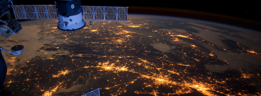
At SenseLab, our Remote Sensing Research involves utilizing advanced technologies to observe and analyze Earth's surface and atmosphere from a distance. Through satellite imagery, aerial photography, and other remote sensing techniques, we capture valuable data to understand and address a wide range of environmental, urban and many morechallenges.
Some fields we work on:
-
Environmental Monitoring: We track changes in ecosystems, land cover, and natural resources to assess environmental health, biodiversity, and the impact of human activities.
-
Natural Hazard Assessment: By monitoring phenomena such as wildfires, floods, and landslides, we provide early warnings and support disaster preparedness and response efforts.
-
Precision Agriculture: We use remote sensing to optimize agricultural practices, including crop health monitoring, soil moisture assessment, and yield prediction, to enhance productivity and sustainability.
-
Urban Planning: Our research contributes to urban development planning, infrastructure management, and risk assessment by analyzing urban growth patterns, land use changes, and transportation networks.
-
Climate Change Studies: We investigate climate-related phenomena, such as sea level rise, glacial retreat, and temperature changes, to understand the drivers of climate change and inform mitigation and adaptation strategies.
Eρευνητική ομάδα SenseLab Space Informatics - Πολυτεχνείο Κρήτης
Οδηγίες
Χρήσιμοι σύνδεσμοι
Επικοινωνία
Eρευνητική ομάδα SenseLab Space Informatics, Πολυτεχνείο Κρήτης, 73100, Χανιά, Κρήτη
ppartsi<at>gmail.com, senselab.tuc<at>gmail.com
28210 37628
© Πολυτεχνείο Κρήτης 2022 |